The Lost Islands of Paris: How the Seine Shaped the City
When the Seine Shaped a Constellation of Islands
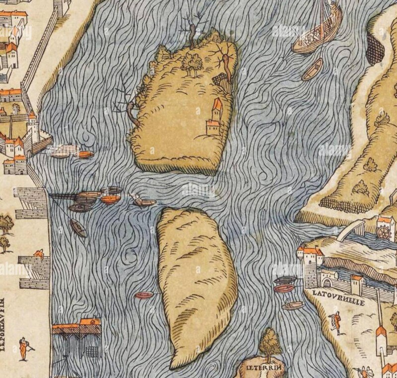
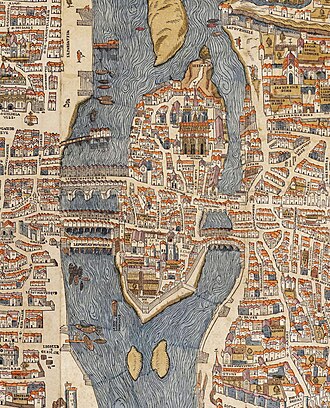
Long before stone embankments, Haussmannian alignments, and the orderly riverbanks we know today, the Seine drew a true archipelago.
The river split into multiple branches, forming small islands that appeared, vanished, or shifted with the floods.
Some of these fragments of land survived; others were gradually absorbed into the expanding city.
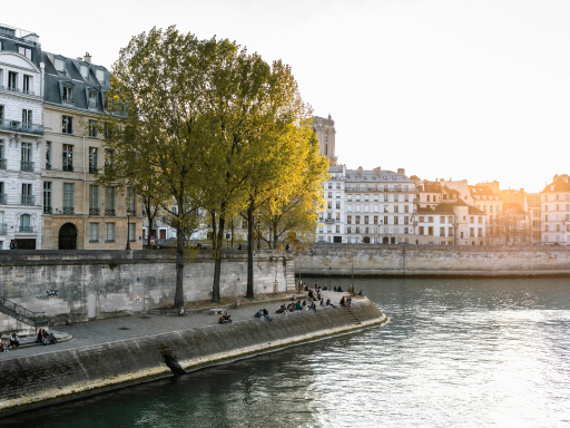
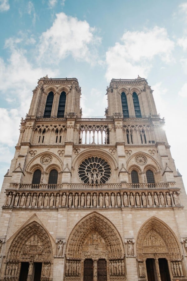
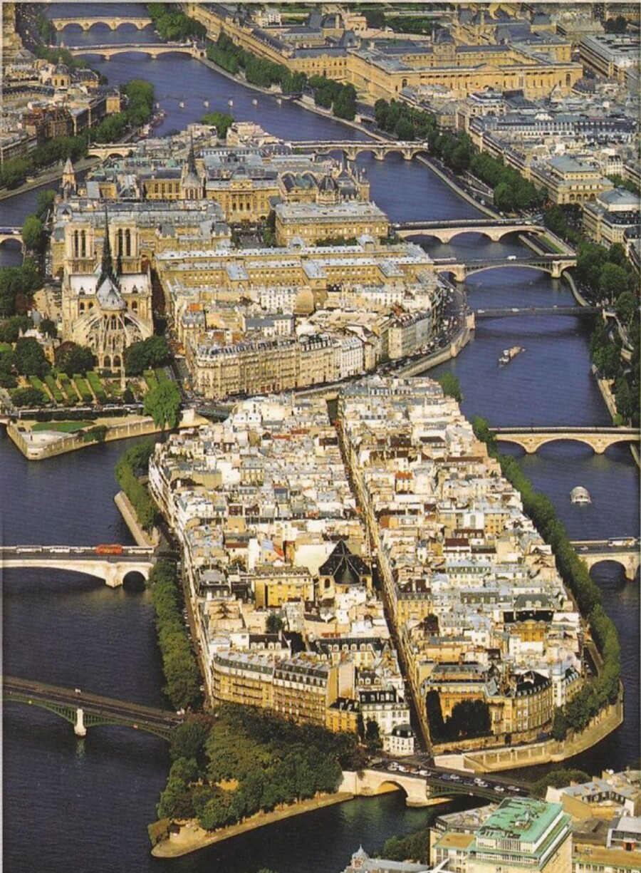
Today, only a handful of islands remain, yet each preserves a crucial chapter of Parisian history: the Île de la Cité, heart of ancient Lutetia; the Île Saint‑Louis, born from the fusion of two medieval islets; the Île aux Cygnes, an artificial island carrying a replica of the Statue of Liberty since 1889 — turned westward towards New York in 1937. Further downstream, the Île Seguin and Île Saint-Germain recall the industrial history of the river.
But the city once counted many more islands. Their memory reveals a vanished, utilitarian, ever‑shifting landscape shaped by the river.
The Lost Islands of Paris: A Forgotten Archipelago
Here are some of the islands that once formed this changing landscape, along with the uses traditionally associated with them:
- Île aux Vaches
Merged with Île Notre‑Dame to form today’s Île Saint‑Louis
Use: grazing land, wood storage, an area exposed to the river’s seasonal flooding.
- Île Notre‑Dame
Merged with Île aux Vaches
Use: gardens, wine warehouses, storage for construction materials.
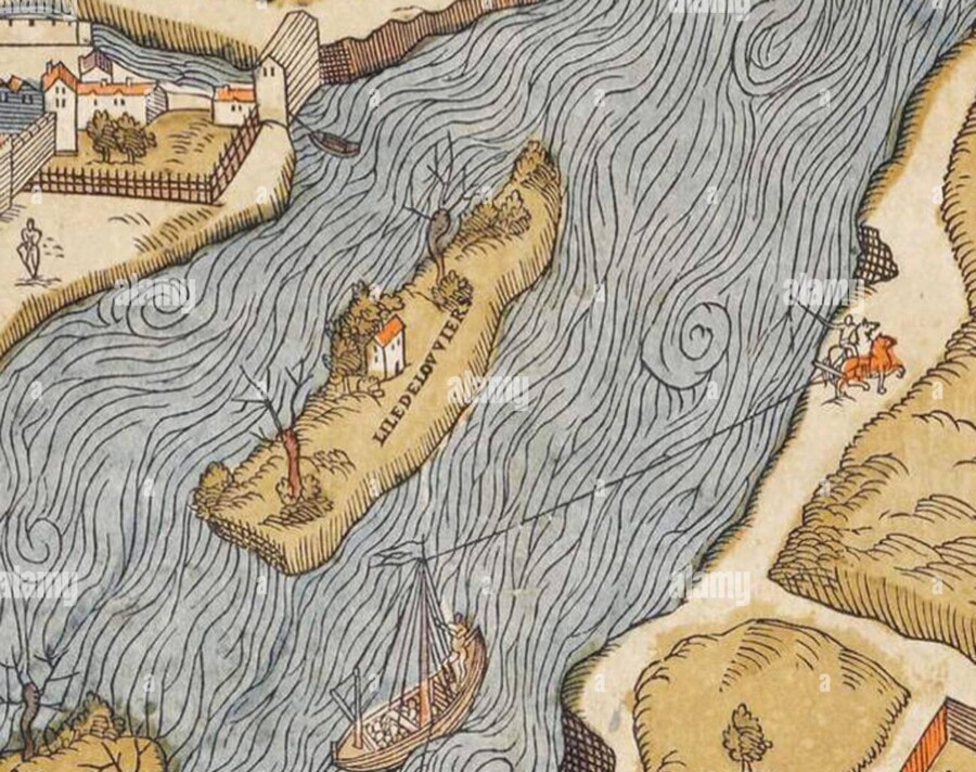
- Île Louviers
Gradually attached to the Right Bank during the nineteenth century
Use: floating‑wood depot, logistical platform.
- The Former Île des Cygnes
Disappeared, not to be confused with the modern artificial Île aux Cygnes
Use: material deposits, natural flood zone.
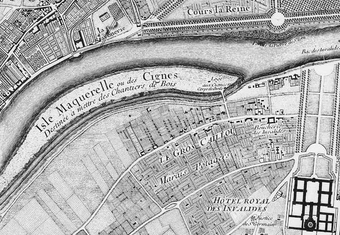
- Île Maquerelle (or Île Marguerite)
Absorbed in the 17th century
Use: grazing and other utilitarian uses.
- Île aux Treilles
Disappeared near today’s Quai de la Tournelle
Use: vineyards, small‑scale agriculture.
- Île de la Gourdaine
Disappeared near the Pont au Change
Use: a utilitarian site shaped by the river’s current and nearby urban activity.
- Île du Patriarche
Absorbed during the Middle Ages
Use: fishing, agriculture, occasional refuge during floods.
- Île des Javiaux
Disappeared near today’s Quai de Gesvres
Use: Its precise uses are less clearly documented, but the island belonged to the utilitarian landscape of the medieval river.
From Wild River to Engineered Waterway
From the seventeenth century onward — and more intensively in the nineteenth century — Paris began to reshape and control the Seine.
Quays were built, banks were straightened, and secondary channels were filled in.
The river became an efficient urban artery, serving commerce, circulation, and the city’s monumental transformation.
This gradual reshaping erased much of the ancient archipelago — but it also created the Paris we know today.
The Memory of the Islands: A Disappearing but Legible Paris
Although many of these islands have vanished physically, their memory endures in old maps, in street names, in the geometry of the quays, and in the subtle topography of the riverbanks.
They remind us that before becoming a city of stone, Paris was a city of water, molded by the shifting currents of the Seine — fluid, changing, almost amphibious.
A Paris that, beneath the surface, still exists.
If you would like to read Paris through these vanished layers, start a conversation about your private experience with Re-Situ.